Land-Sea Mask Datasets
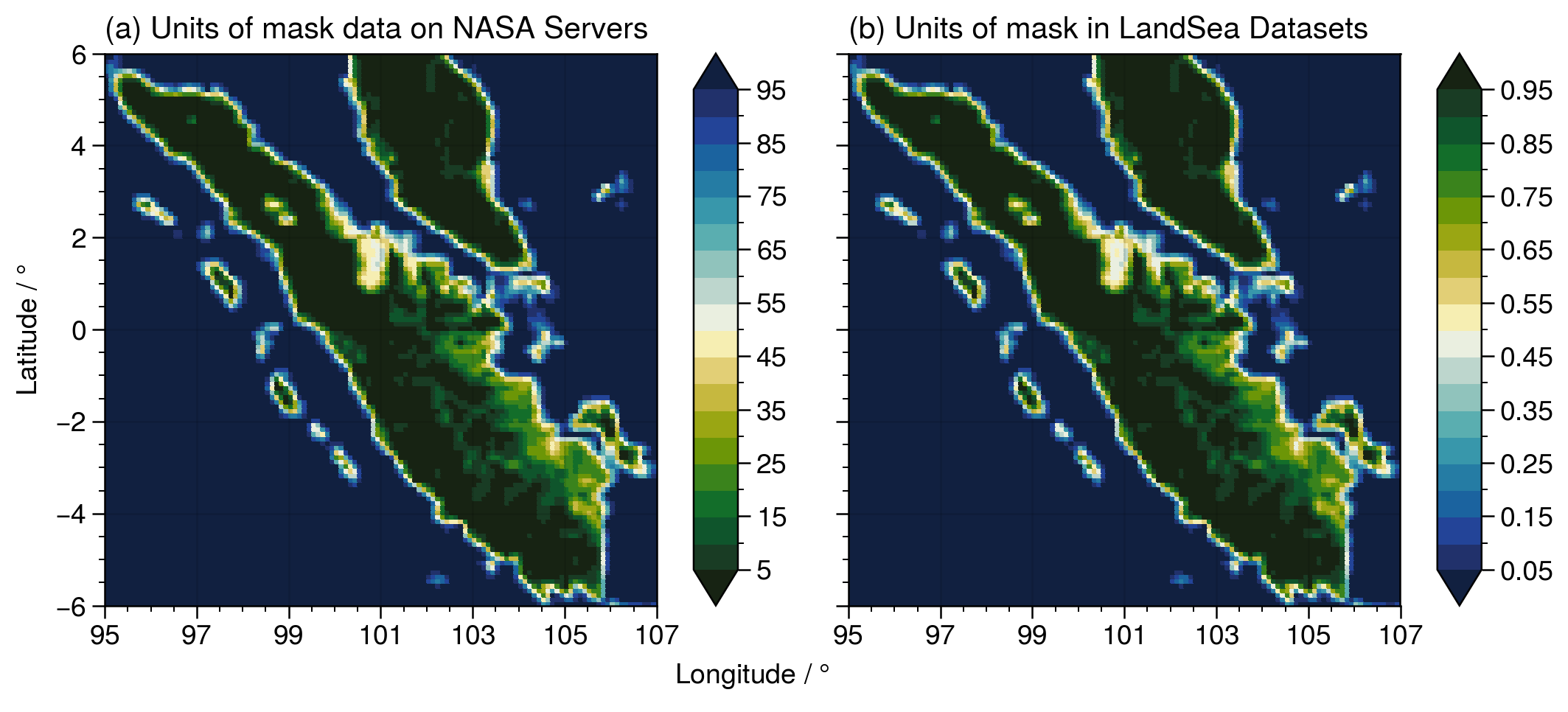
Similar to ETOPO 2022, NASA also provides global land-sea masks at the same resolution as the IMERG and TRMM datasets. NASAPrecipitation.jl - in a manner similar to GeoRegions.jl for ETOPO 2022 data - is able to retrieve the land-sea mask datasets provided by NASA that allows for us to easily distinguish between precipitation data points over land and over the ocean.
This land-sea mask is then saved into a LandSea data type, which is defined to be a subType of the LandSeaFlat abstract type in GeoRegions.jl.
For standardization purposes, NASAPrecipitation.jl converts the land-sea mask provided by NASA to the same units as the LandSea Dataset provided by GeoRegions.jl
0 represents fully ocean, while 1 represents fully land.
See the figure below: